


We integrate IoT sensors and satellite imagery into operational dashboards for agriculture, logistics, and infrastructure monitoring.
Sensor networks and Earth-observation pipelines.
PANEOTECH integrates IoT sensors and satellite imagery into operational platforms for clients in agriculture, energy, environmental monitoring, and infrastructure. The practice spans sensor selection and deployment, edge computing, telemetry pipelines, and the analytics that turn raw signal into the decision support institutional teams need.
Across the IoT and remote-sensing stack.
Sensor architecture
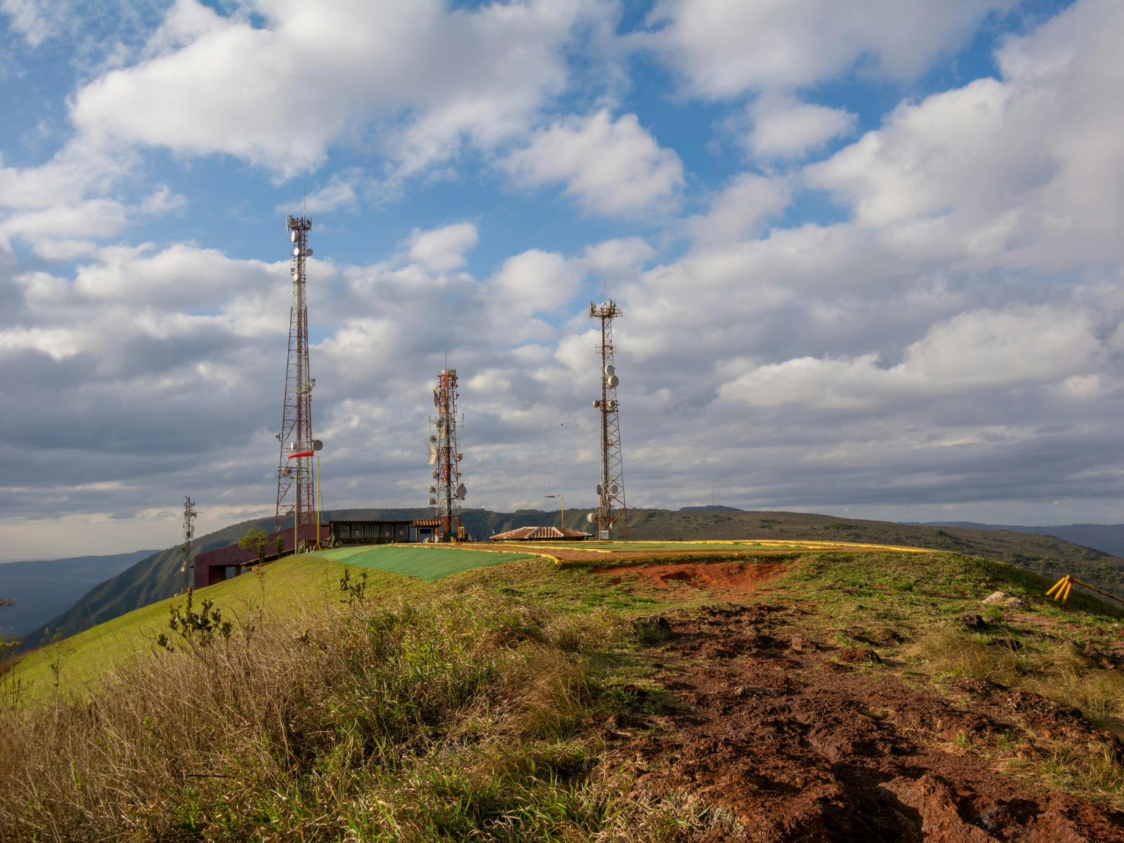
Selection, deployment, and lifecycle management of IoT sensor fleets, with the connectivity strategies (LoRaWAN, NB-IoT, satellite) tuned to the deployment geography.
Edge computing
On-device data processing, local aggregation, and the edge intelligence that makes telemetry economics work when bandwidth is expensive or intermittent.
Telemetry pipelines
Ingestion at scale, message queueing, time-series storage, and the data plumbing that lets institutional teams reason about millions of readings without drowning in them.
Earth observation
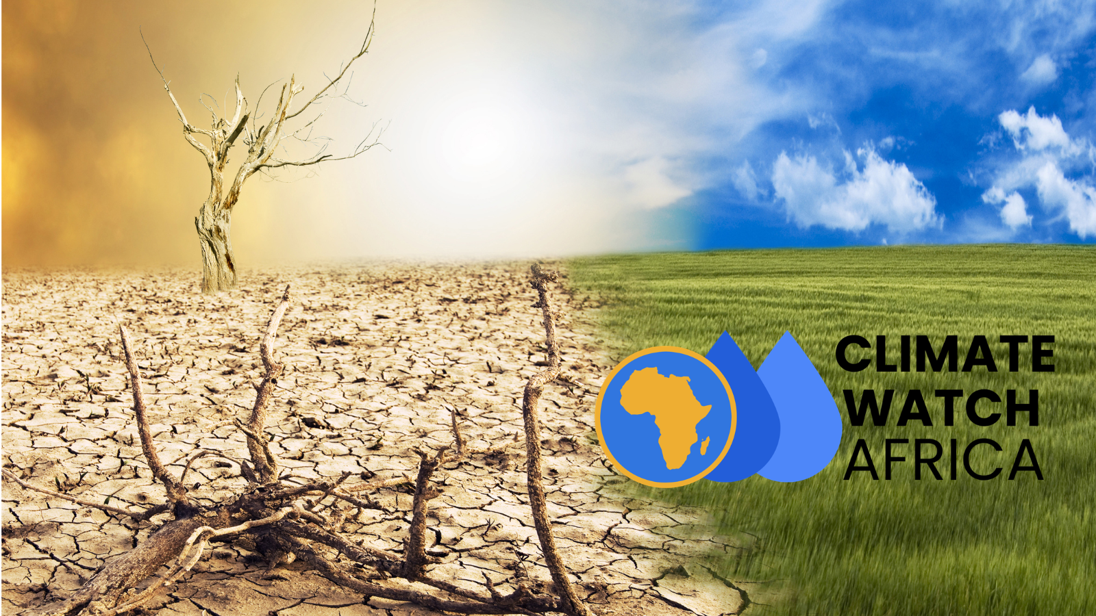
Satellite imagery pipelines using Sentinel, Landsat, and commercial constellations, with the preprocessing and indexing that makes EO data useful in operational platforms.
Geospatial analytics
Vegetation indices, change detection, hydrological modelling, and the geospatial analytics that turn imagery into actionable institutional intelligence.
Operational dashboards
Live dashboards that fuse IoT telemetry, EO data, and ground-truth observations into the operational picture institutional teams need to act on.
Engineered for the field.
African operations are physical.
Agriculture, energy, water, infrastructure, and environmental monitoring are physical operations playing out across vast geography with thin connectivity. The instruments that observe them, the pipelines that move the data, and the analytics that turn it into decisions are all engineering challenges we have built our practice around.